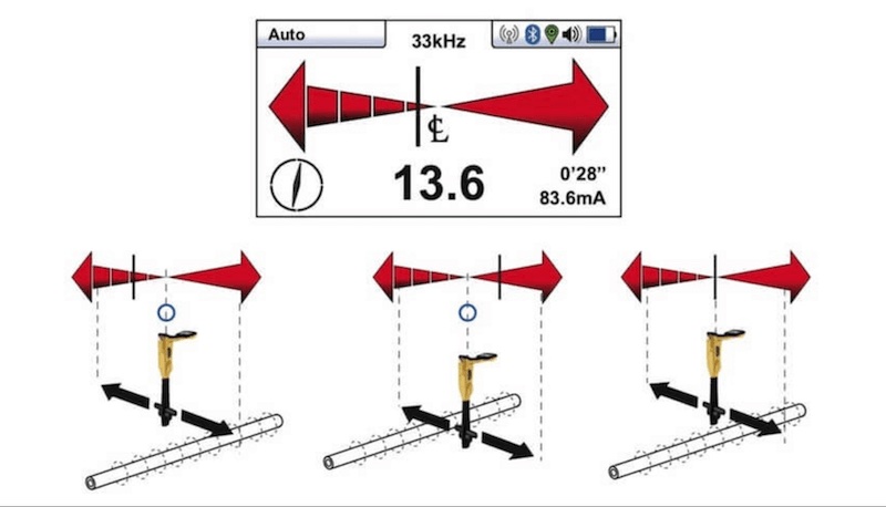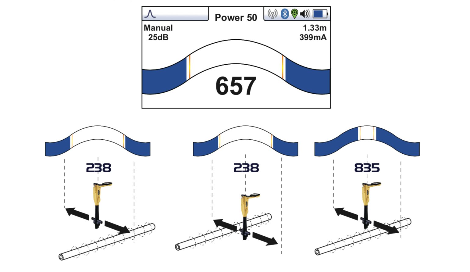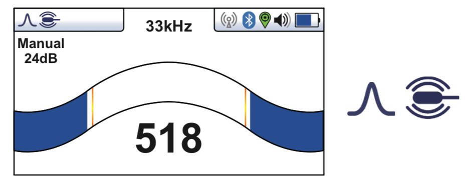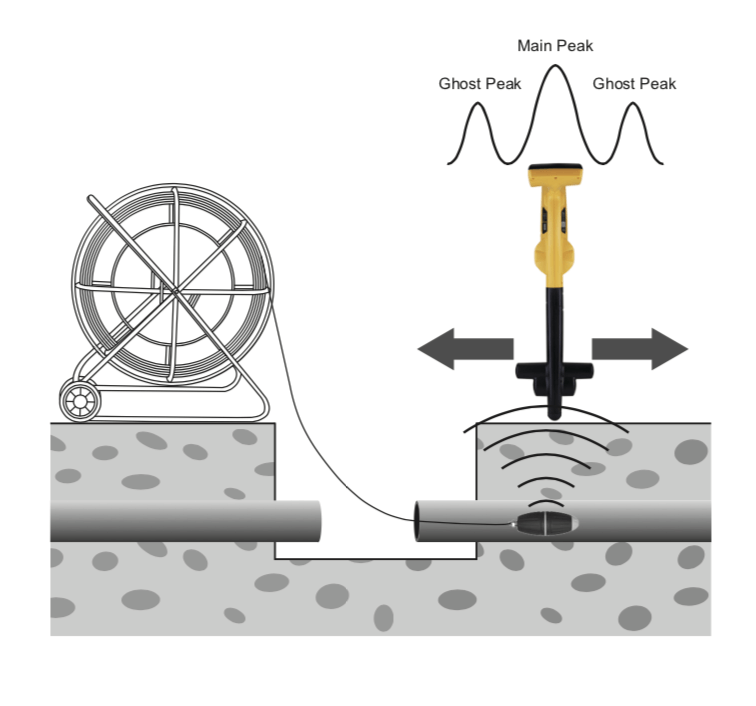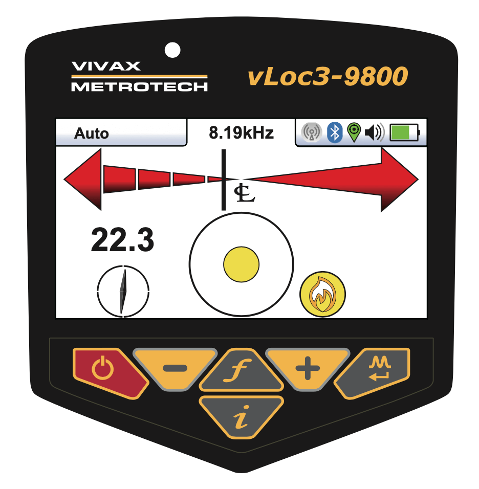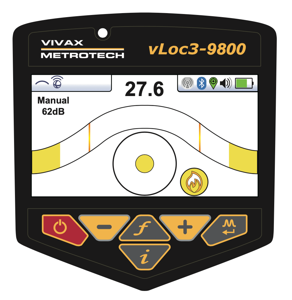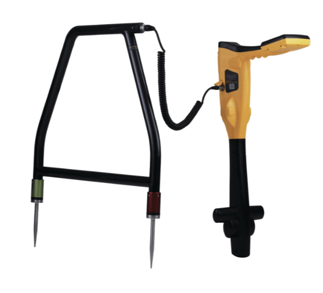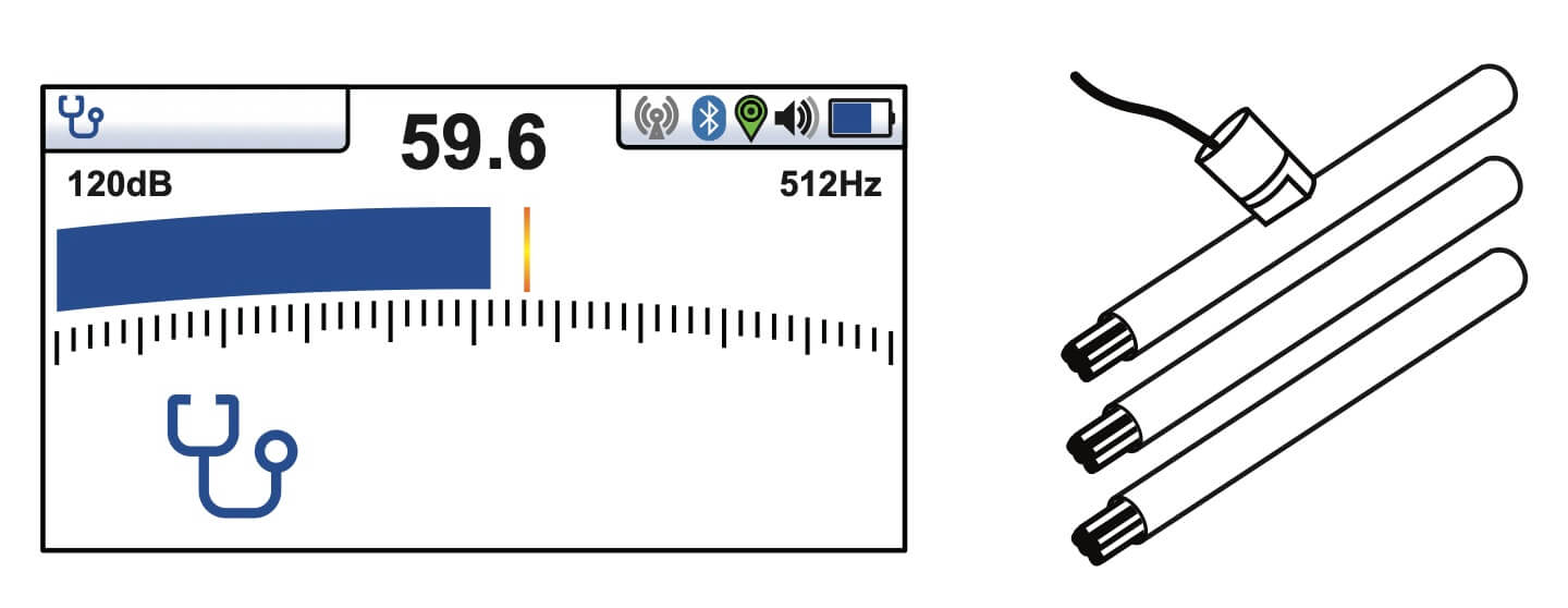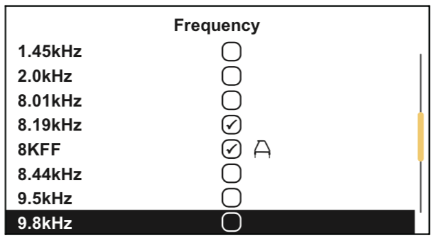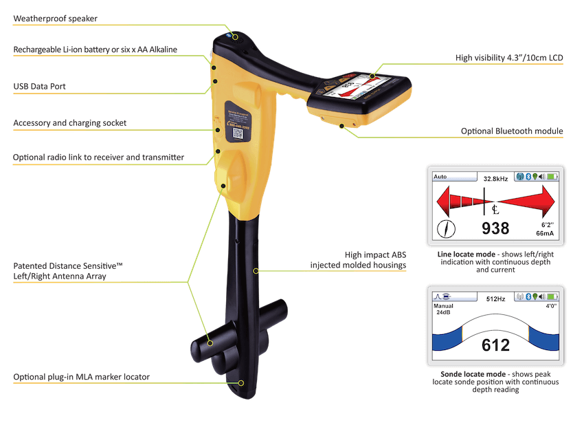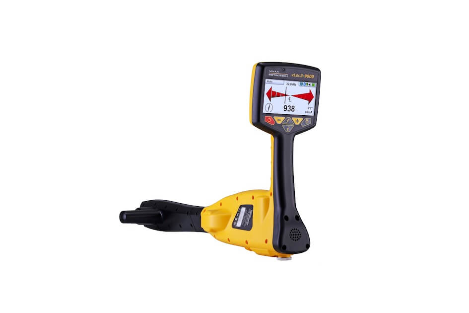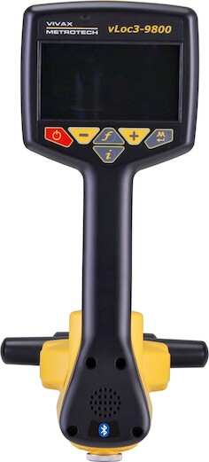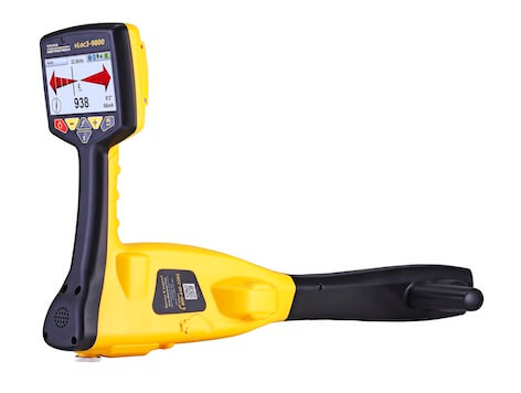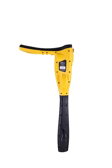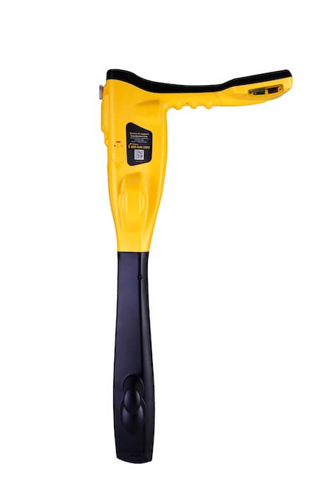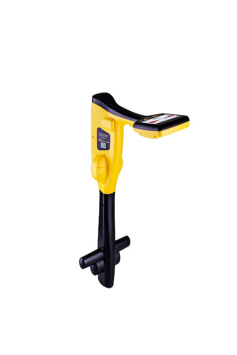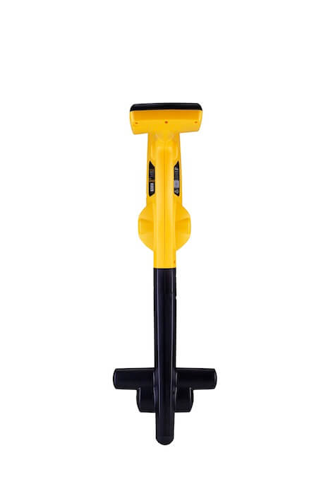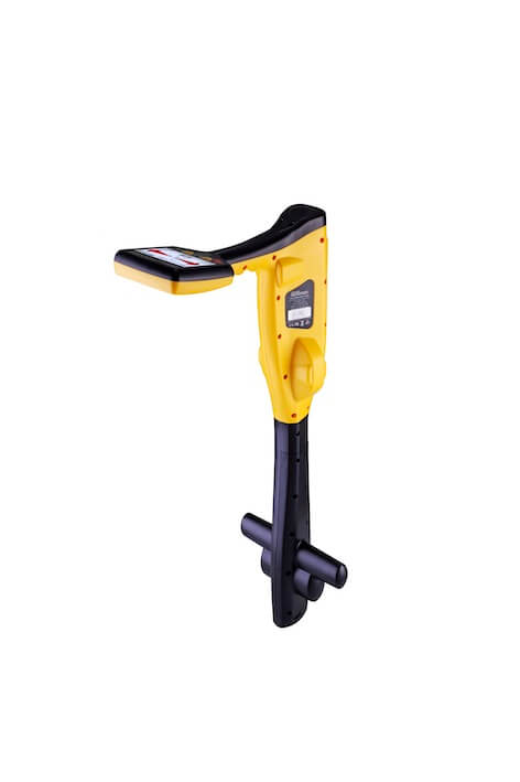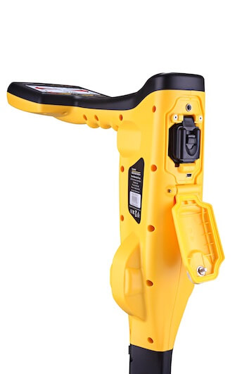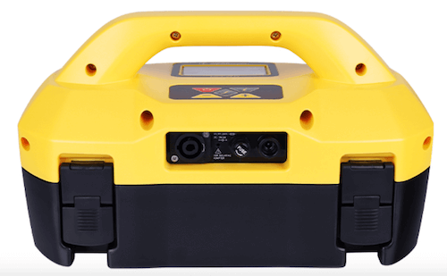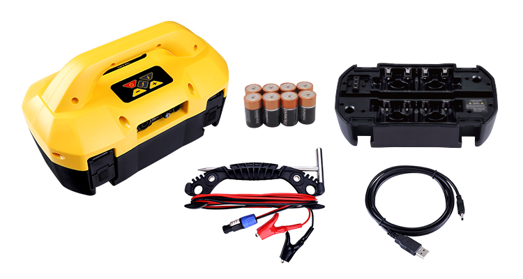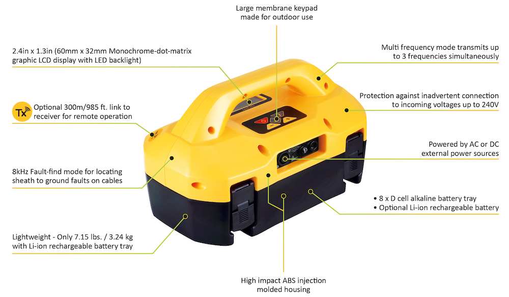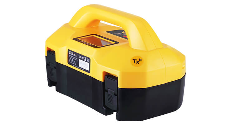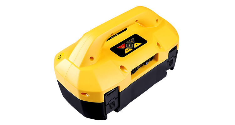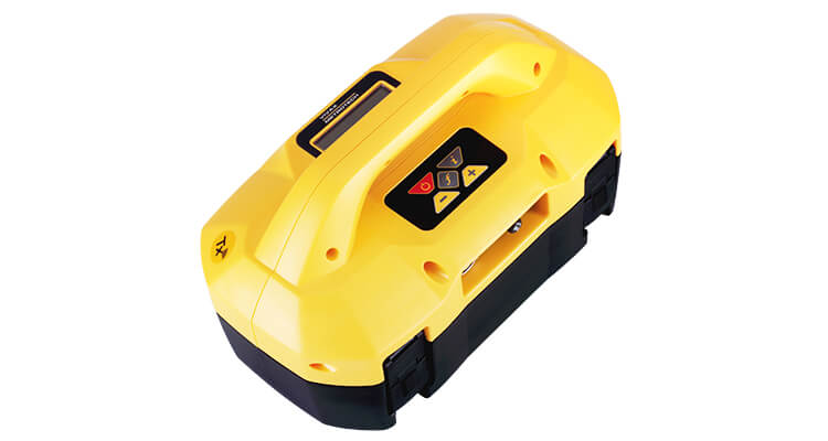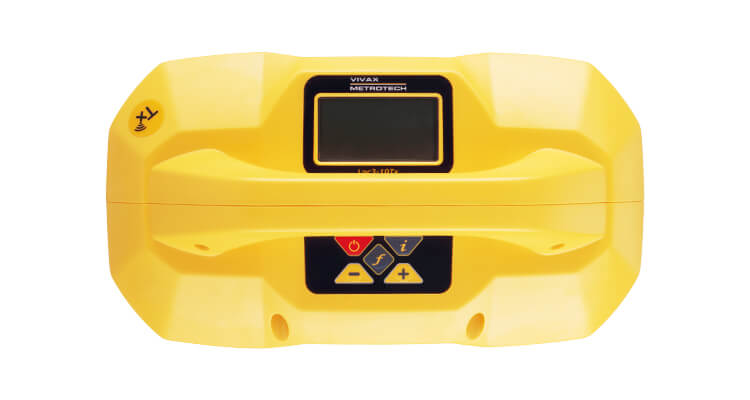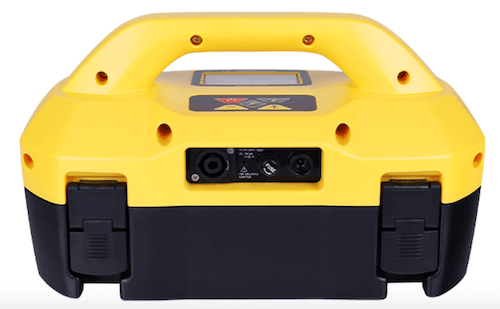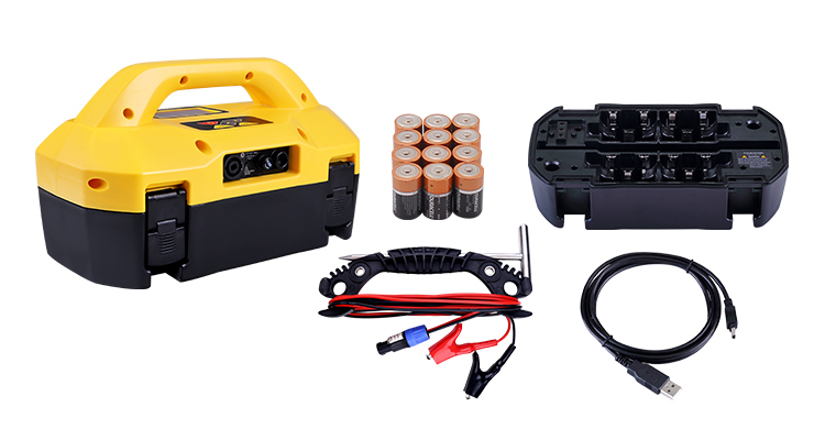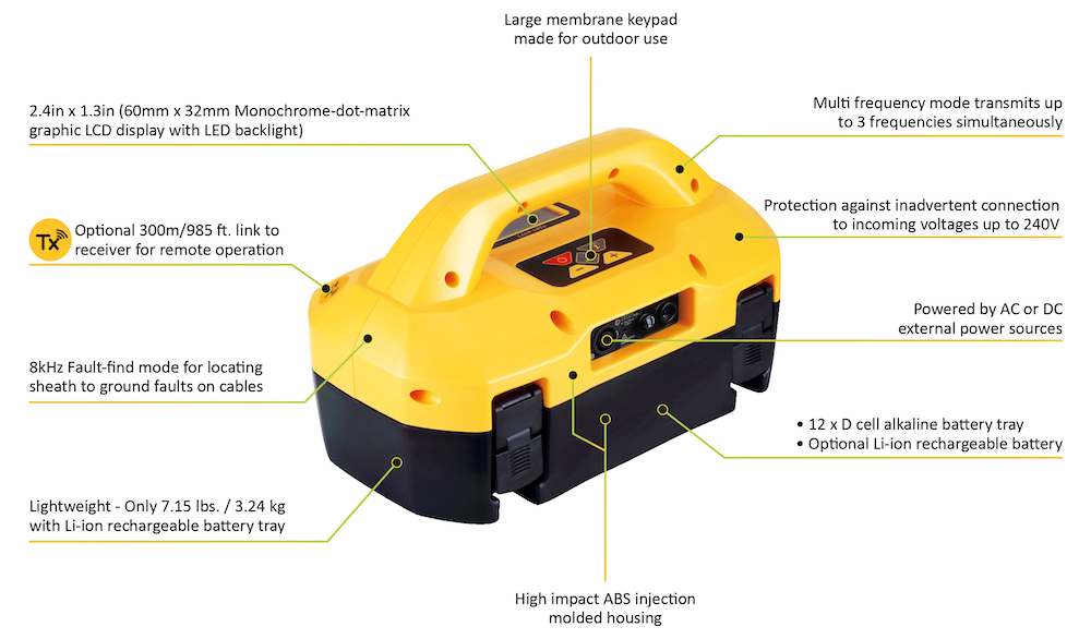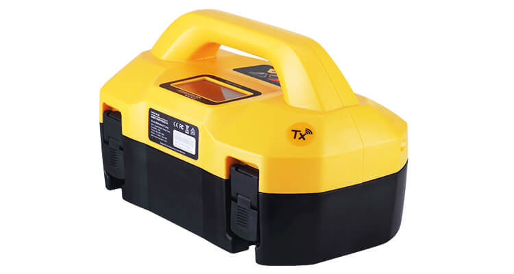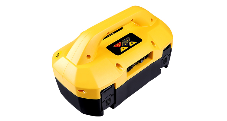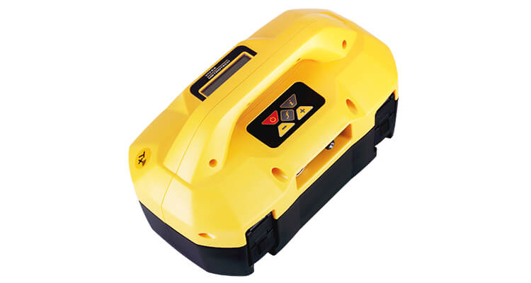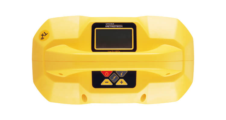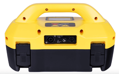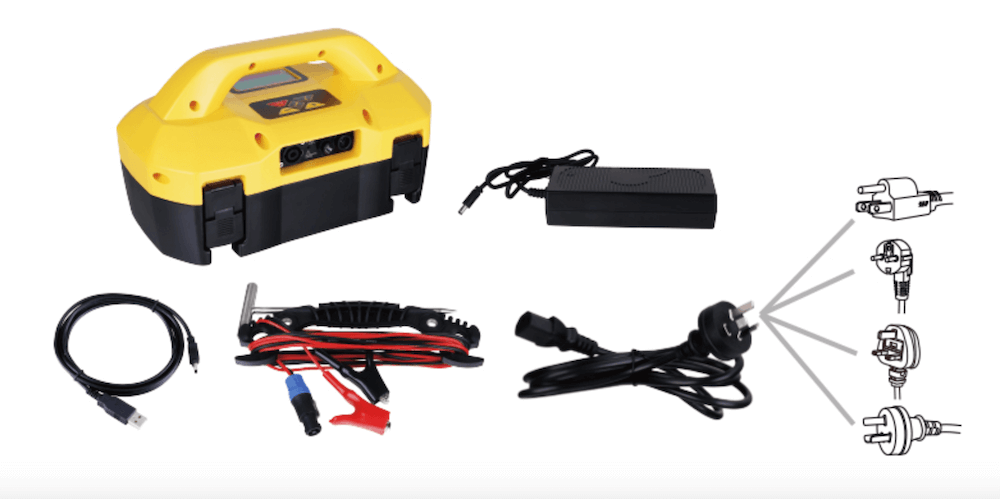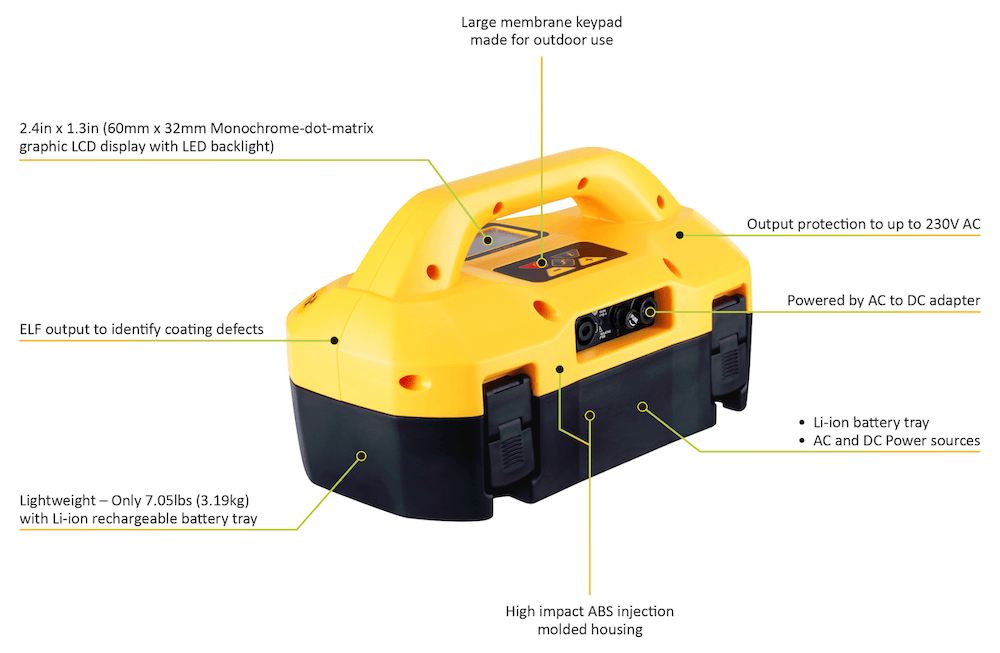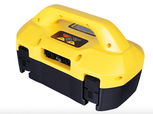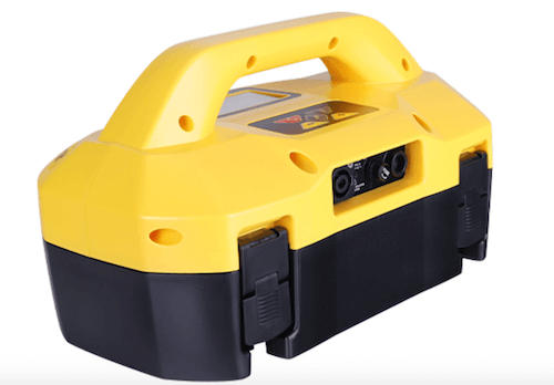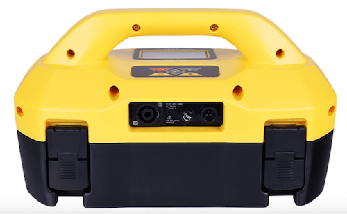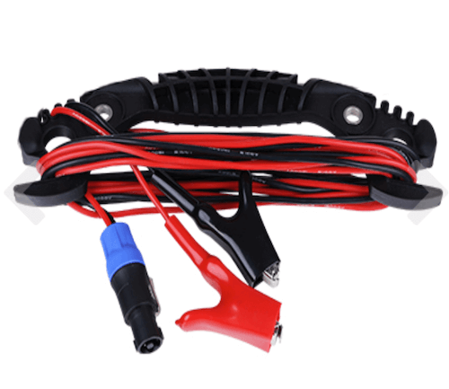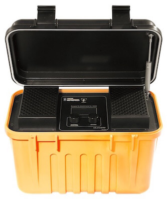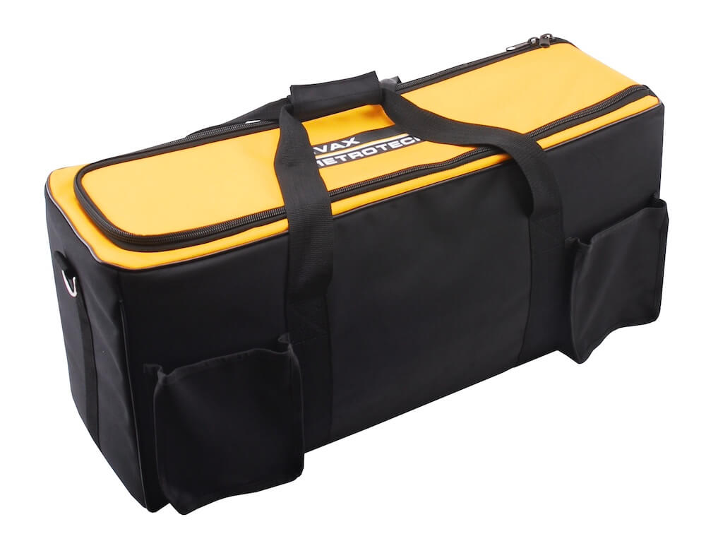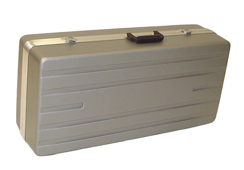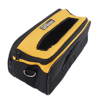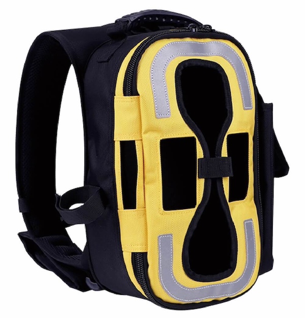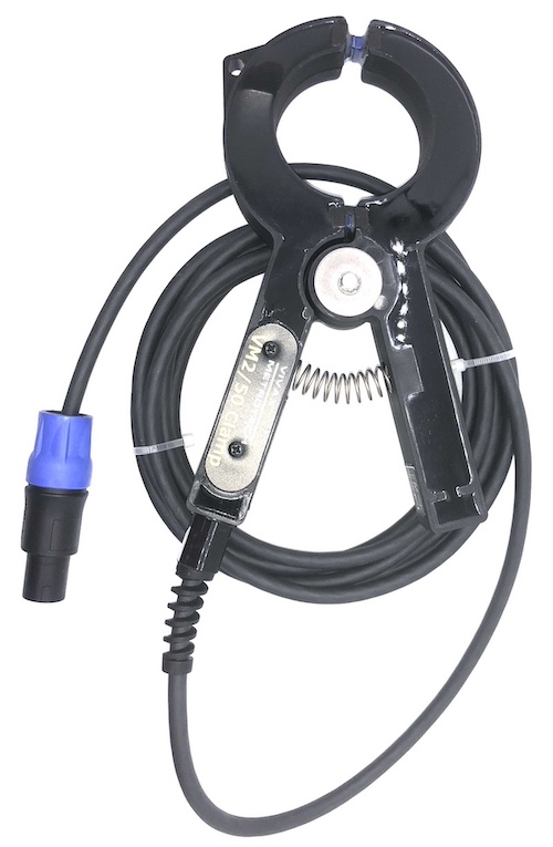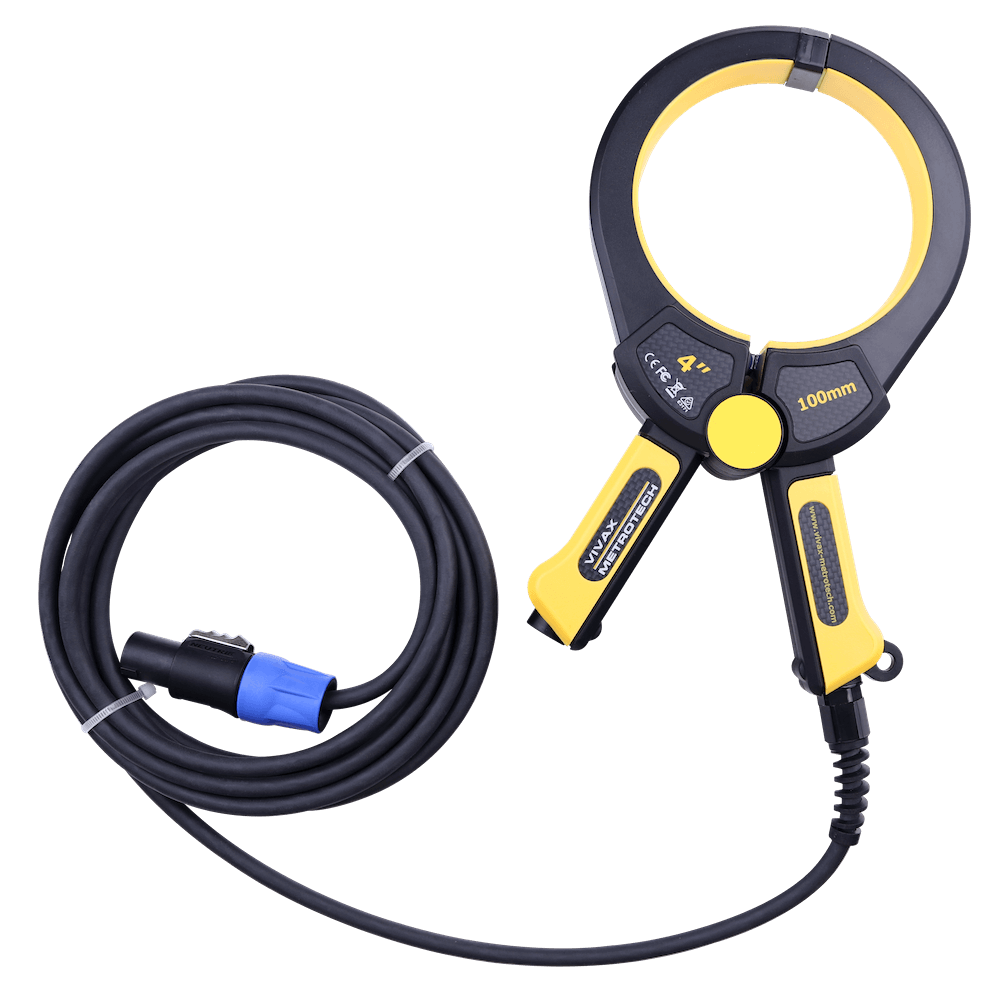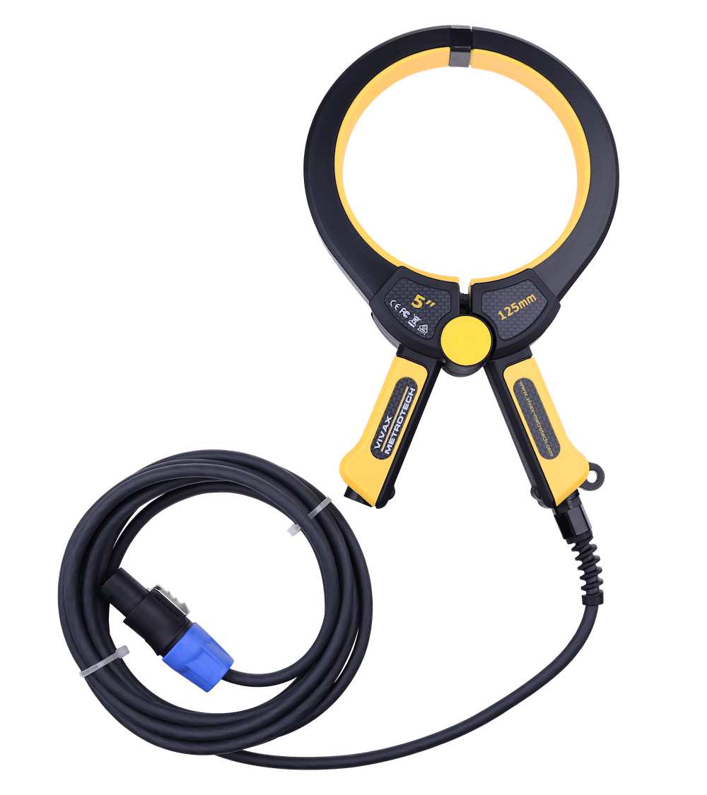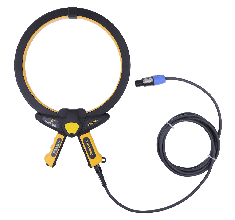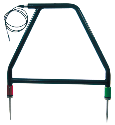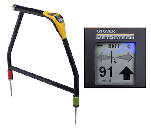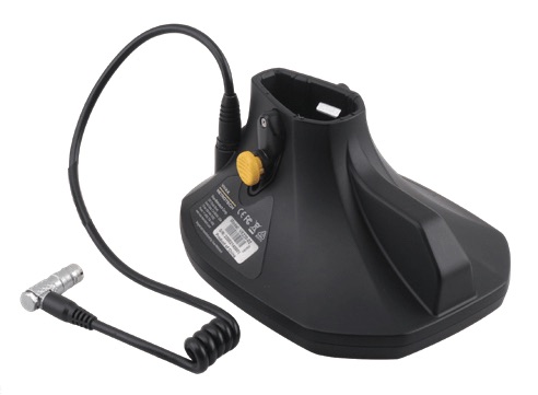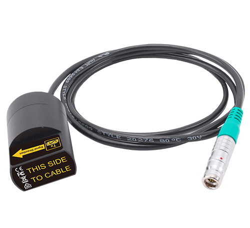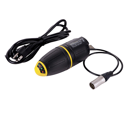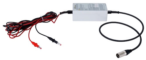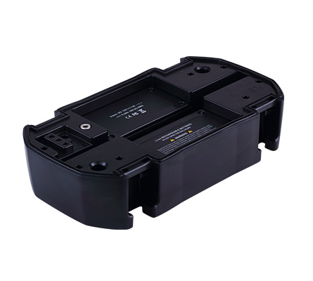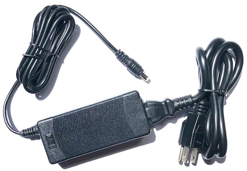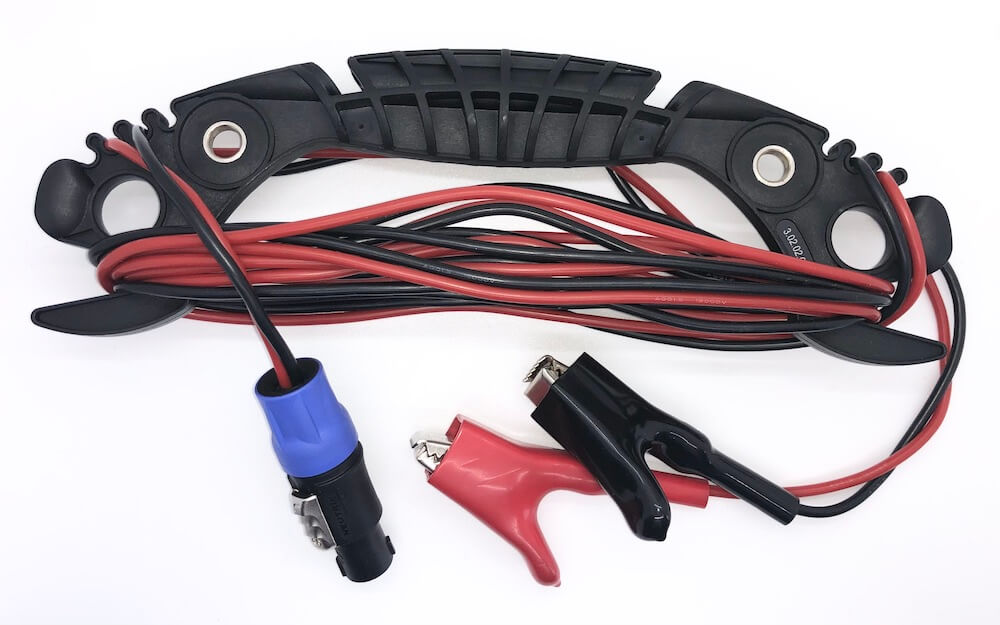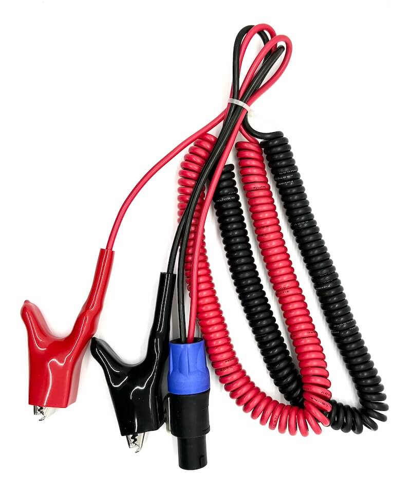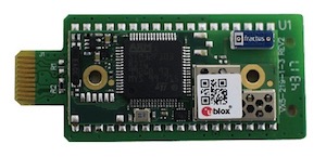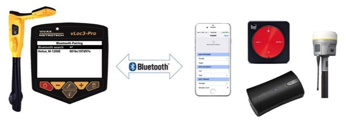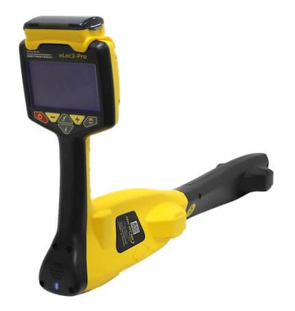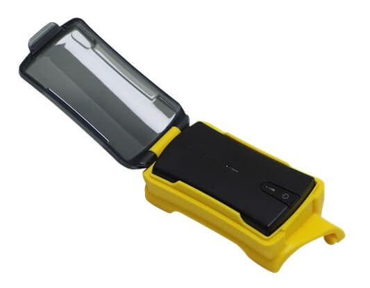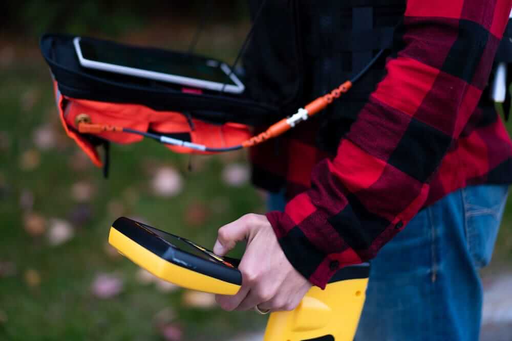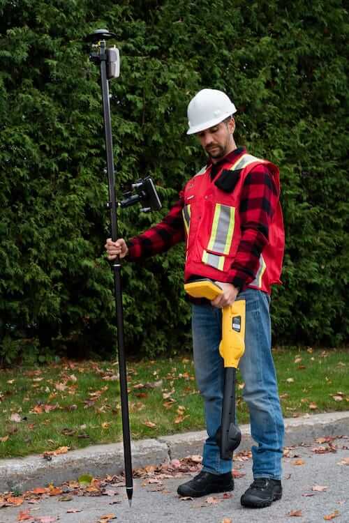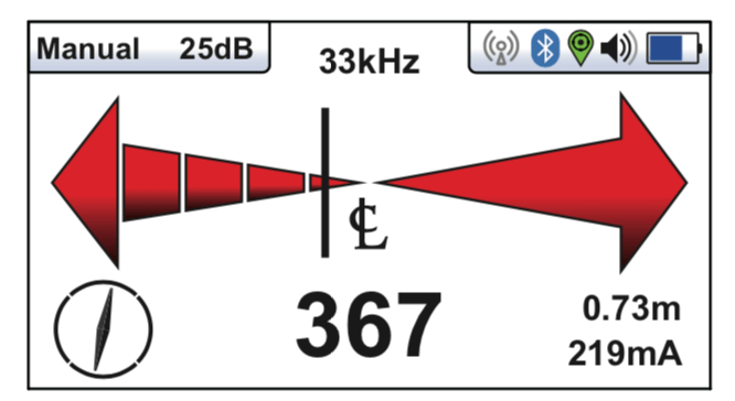

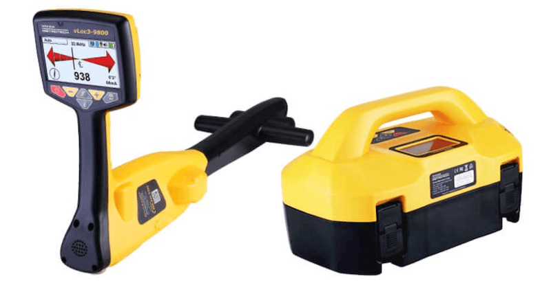
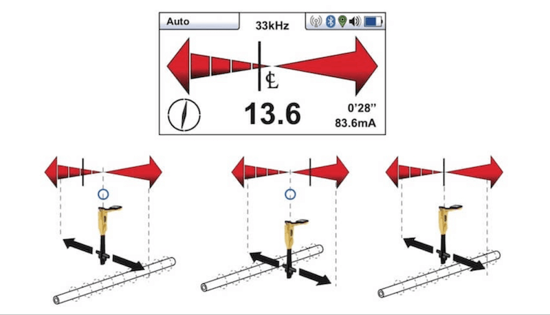
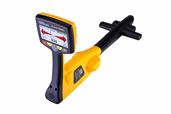
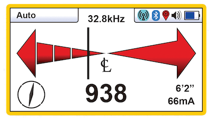
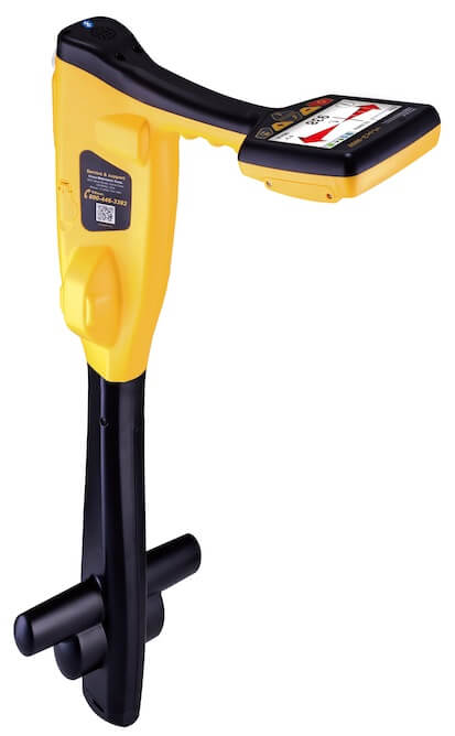
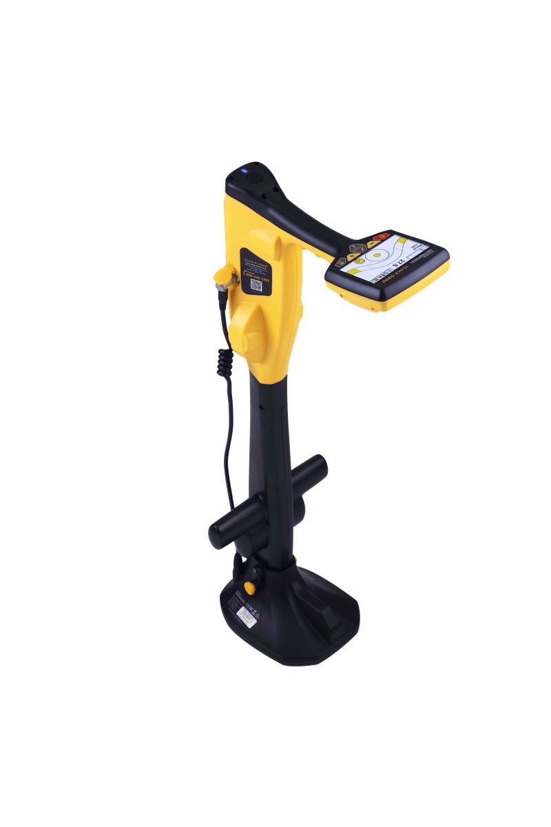
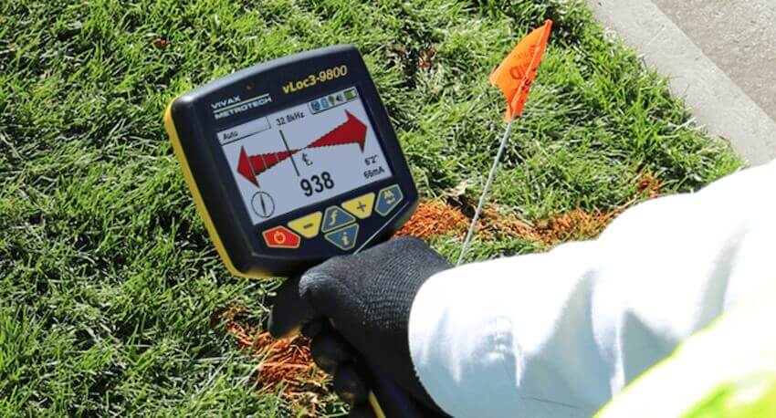
The vLoc3-9800 from Vivax-Metrotech is a fully automatic gain control, precision left/right guidance utility locator. The vLoc3-9800 offers passive modes and all available frequencies between 16Hz up to 200kHz. Audio and mechanical vibration alerts are configurable by users providing warnings for shallow depth, overload, overhead cables, and excessive swinging. Accessories include the optional Bluetooth module for GPS mapping and MLA (marker locator adapter) add-on for locating buried EM markers and TX Link for communications between receiver and transmitter.
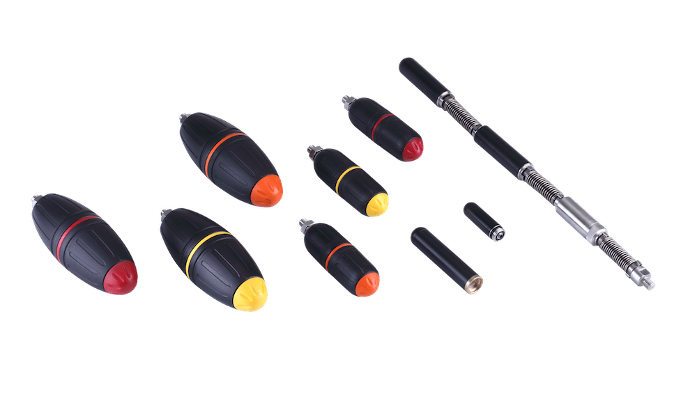
Need to locate marker balls? Every vLoc3 locator can find EM markers using an optional Marker Locate Adapter (MLA).

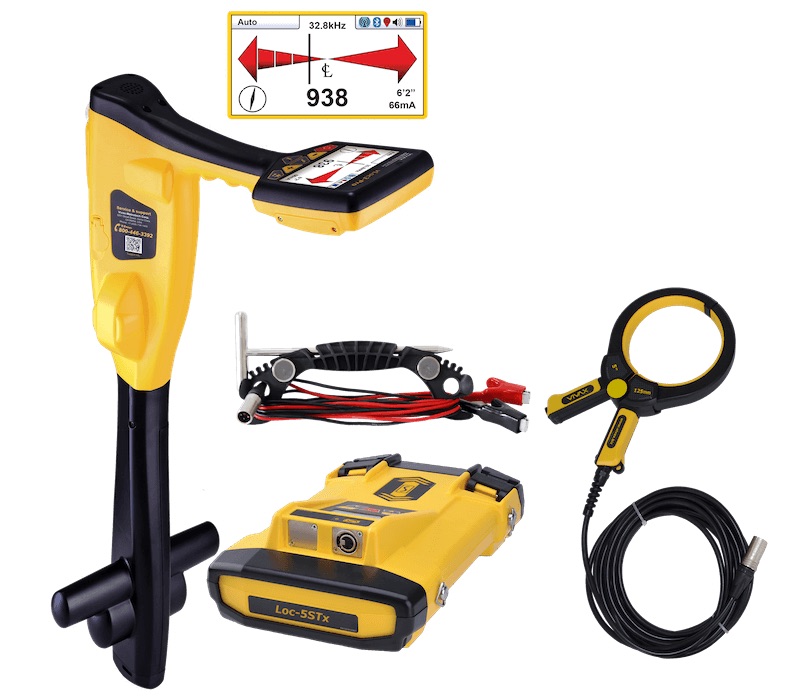
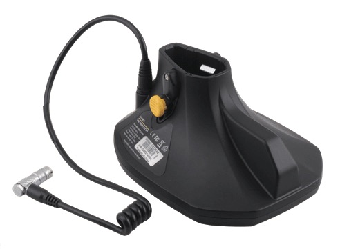
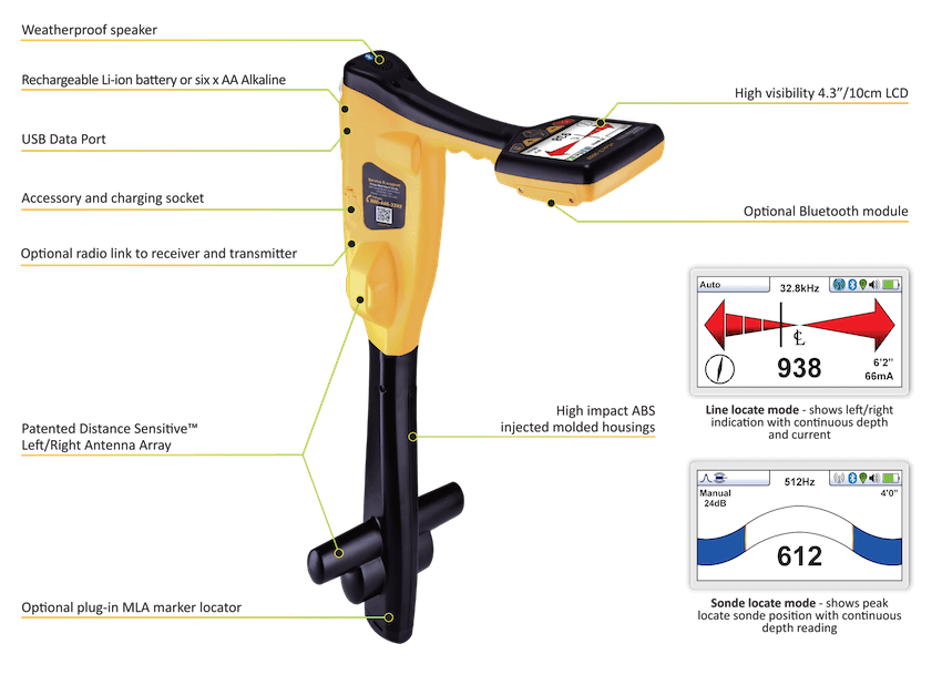
| Standard Features |
|
|
|
|
|
|
|
|
|
|
|
|
|
|
|
|
|
|
|
|
|
|
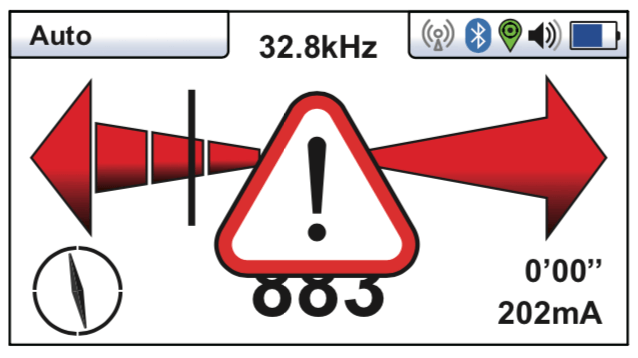
Warnings and Alerts provide users with instant feedback when something is wrong. These events will cause the handle to vibrate as well as display a visual notification indicating type of alert. All events are logged onto an internal SD card for future reference.

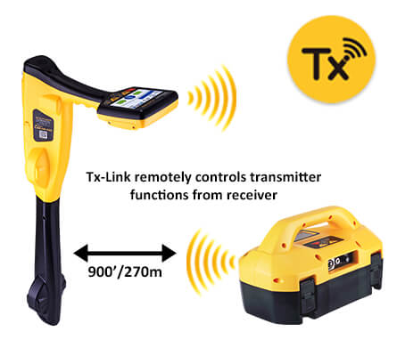
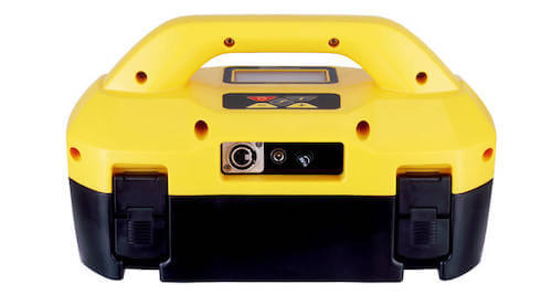
The TX LINK is an optional feature and requires the transmitter radio link to be installed on both the Loc3 transmitter and vLoc3 receiver. TX LINK allows the transmitter to be remotely operated from the receiver. When linked, changing the frequency on the receiver will automatically change the frequency on the transmitter. The range of the radio link depends on having a clear "Line of sight" between the Receiver and Transmitter and is typically 984 ft (300m).
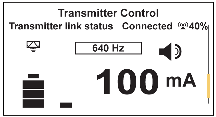
Using TX LINK with the vLoc3 series Rx is as easy as pressing the frequency key ("f") to change the frequency. For additional operations simply enter the "Transmitter Control" screen from the normal menu mode. This screen will display a visual of the transmitter display itself and allow user to increase or decrease power output (+ or -).
The Transmitter Control screen will display the following:
Radio link signal strength (40% as indicated).
Output mode icon (direct connection)
Output signal frequency (640Hz)
Output current (100mA)
Volume setting (level 2)
Transmitter battery level (Full)
Pressing the ("I") button will return to normal locating screen.
NOTE:
If TX LINK is not necessary, simply "Disabled" on both the transmitter and receiver to conserve battery.
VM-MAP App
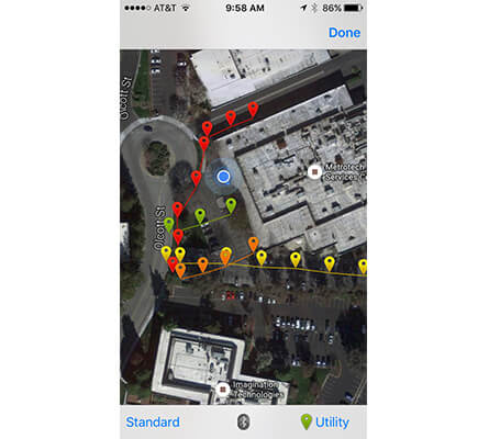
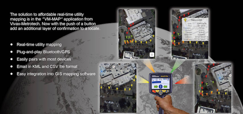
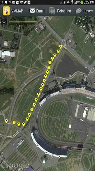
The VMMAP mobile mapping app from Vivax-Metrotech provides an affordable real-time mapping solution for GPS mapping of buried utilities.
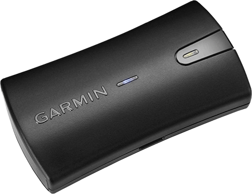
This solution will generate maps in real time giving the user a visual indication on the smartphone and confidence that the data is accurate. GPS is provided by the smartphone or via an external GPS receiver providing seamlessly whatever level of accuracy you need for the map. The app provides additional data to be entered such as notes or job site pictures.
The VMMAP application is compatible with both iOS and Android devices and can be downloaded for FREE on the Apple Store or GooglePlay.
- Instant mapping of buried and above ground utilities
- Quickly create and email files; CSV, KLM, TXT or XLS formats
- Easy integration into GIS software
- Detailed history points to display and visualize the work being done
- Detailed information on location points (current, mode, frequency, depth and GPS coordinates)
